MapQuest Mobile App Now Displays Surveillance Camera Locations
The navigation service integrates a new layer showing license plate readers and outdoor cameras from more than ten vendors, raising privacy concerns.
Key points
- MapQuest has added a surveillance camera overlay to its mobile application for users to toggle on or off.
- The feature displays data for license plate readers and outdoor cameras from over ten companies, including Flock.
- The location information for these devices is sourced from the OpenStreetMap community database.
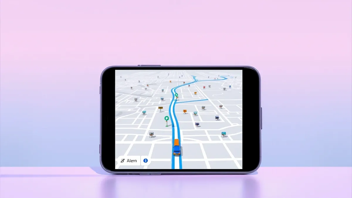
MapQuest has introduced a new feature in its mobile navigation application that allows users to view the locations of surveillance cameras and license plate readers. According to a report by Mashable, this addition enables the app to display a dedicated layer showing these monitoring devices, marking a significant shift in how the platform presents geographic data to its user base.
The updated map overlay reveals the positions of outdoor cameras and license plate recognition systems from more than ten different vendors. Flock is specifically named as one of the companies whose devices appear in this new dataset. This functionality relies on location data contributed to OpenStreetMap, a collaborative project for creating free geographic data, rather than proprietary feeds directly from the hardware manufacturers.
Context and Background
This development follows earlier reporting by Threat Times on October 16, 2026, which noted that MapQuest was adding a surveillance camera layer to show devices from Flock and other vendors. That initial report confirmed the navigation app would let users toggle a map overlay to reveal outdoor cameras and license plate readers from multiple vendors, establishing the groundwork for the current feature rollout.
MapQuest, which originally debuted in 1996, has historically been a major player in digital navigation before being eclipsed by competitors. The integration of surveillance data into a consumer-facing navigation tool represents a distinct change in the service's scope. By utilizing OpenStreetMap data, the platform leverages community-sourced information to populate this specific layer, rather than maintaining its own direct inventory of surveillance hardware locations.
Who Is Affected
Users of the MapQuest mobile application are the primary group affected by this change, as they now have the option to enable or disable the visibility of these surveillance devices. The feature allows individuals to choose whether they wish to see the locations of cameras and plate readers while navigating.
The inclusion of data from more than ten companies suggests a broad scope of coverage, potentially affecting users in areas with high densities of commercial or municipal monitoring equipment. The ability to toggle this data means users can control their exposure to this specific type of geographic information.
What should you do?
Security teams and privacy-conscious users should review their MapQuest app settings to determine if the surveillance layer is enabled by default or requires manual activation. Organizations that manage sensitive physical locations should monitor whether their own surveillance assets are being cataloged in public databases like OpenStreetMap, as this data can now be viewed through popular navigation tools.
What to do and how to stay safe: MapQuest
- Check your MapQuest mobile app settings to see if the surveillance camera layer is currently active and disable it if you prefer not to view this data.
- Review your own organization's external surveillance equipment to ensure that sensitive locations are not inadvertently exposed through public mapping contributions.
- Monitor news outlets and security advisories for updates on how MapQuest manages this data and whether further vendor integrations are planned.
- Educate staff and users about the implications of viewing surveillance data in navigation apps, particularly regarding privacy expectations in public spaces.
Step-by-step guide: How to Remove Data from Data Brokers: The Manual Cleanup Process
General security guidance from the Threat Times newsroom. It is not confirmed advice from the organisations named in this story.
Frequently asked questions
How does MapQuest get the data for the surveillance camera layer?
The location information for the cameras and license plate readers is sourced from OpenStreetMap, a community-driven geographic database.
Which companies' devices are shown in the new MapQuest feature?
The feature displays data from more than ten companies, with Flock specifically mentioned as one of the vendors included in the dataset.
Can users turn off the surveillance camera display in MapQuest?
Yes, users can toggle the map overlay on or off within the app, allowing them to choose whether to view the locations of cameras and plate readers.