MapQuest Adds Surveillance Camera Layer Showing Flock and Other Devices
The navigation app now lets users toggle a map overlay revealing outdoor cameras and license plate readers from multiple vendors.
Key points
- MapQuest introduced a new map layer displaying known outdoor surveillance cameras and license plate readers.
- The feature includes devices from Flock Safety, Motorola Solutions, Genetec, and ten other vendors.
- Camera locations are crowdsourced, allowing users to add devices they encounter on the road.
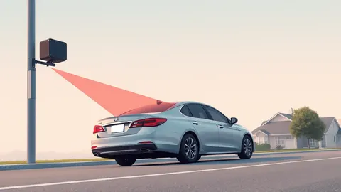
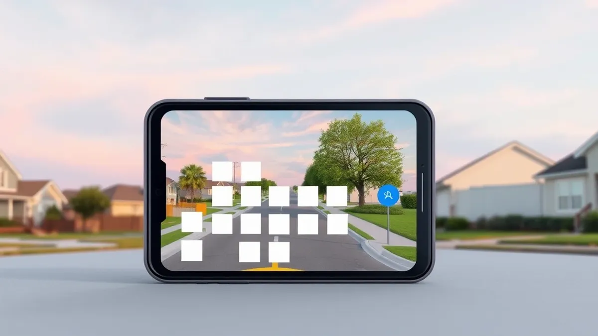
MapQuest has launched a new map layer that displays the locations of known outdoor surveillance cameras and license plate readers. Users can activate this feature within the Map Options menu, placing it alongside existing traffic and incident overlays.
The update follows a significant surge in MapQuest app downloads during September, according to The Next Web. This increase in usage occurred after the company refused to relabel Lake Ontario as Lake America, a change implemented by Google Maps and Apple Maps.
Feature Details and Vendor Coverage
The surveillance layer aggregates data from numerous manufacturers, including Flock Safety, which is one of the largest makers of license plate readers in the United States. Other included vendors are Motorola Solutions, Genetec, Axis Communications, Axon, Leonardo, Neology, Rekor, PlateSmart, Ubicquia, and Verkada.
According to CarScoops, MapQuest announced the feature on social media with the phrase “The Roads Have Eyes!” The platform relies on crowdsourced data for these locations, meaning users can manually add devices they spot while using the app.
Context and Legal Background
License plate readers photograph passing vehicles and log their plates, times, and locations, allowing police and private groups to search those records. Flock’s cameras have expanded rapidly across the US, facing growing public pushback.
A US judge recently ruled that a police search using Flock technology constituted unconstitutional mass surveillance. This legal challenge highlights the scrutiny surrounding such surveillance tools, even as their deployment continues to grow.
Recent Product Changes
This surveillance layer is part of a series of recent updates to the MapQuest application. In addition to the camera map, the company has added Android Auto support and public transport directions, according to Engadget.
These changes represent the latest in a run of updates for the platform. The addition of the surveillance layer provides users with visibility into monitoring devices in public spaces.
What should you do?
Users interested in this feature should open the MapQuest app and navigate to Map Options to toggle the surveillance layer. Those concerned about privacy may wish to review the terms of service regarding crowdsourced data submission.
What to do and how to stay safe: MapQuest
- Check your MapQuest app settings to see if the surveillance camera layer is enabled or disabled by default.
- Review the privacy policy of the mapping application to understand how crowdsourced location data is stored and used.
- Verify the accuracy of reported camera locations by cross-referencing with local municipal records or official notices.
- Monitor official announcements from device manufacturers for updates on data retention policies for license plate readers.
Step-by-step guide: How to Remove Data from Data Brokers: The Manual Cleanup Process
General security guidance from the Threat Times newsroom. It is not confirmed advice from the organisations named in this story.
Frequently asked questions
Which surveillance camera brands are included in the new MapQuest layer?
The layer includes devices from Flock Safety, Motorola Solutions, Genetec, Axis Communications, Axon, Leonardo, Neology, Rekor, PlateSmart, Ubicquia, and Verkada.
How does MapQuest gather the location data for these cameras?
The camera locations are crowdsourced, allowing users to add devices they spot to the map database.
Why did MapQuest downloads increase in September?
Downloads surged after MapQuest refused to relabel Lake Ontario as Lake America, a change adopted by competitors Google Maps and Apple Maps.